If you own a residence in the Alberni Clayoquot Regional District, Lori Wilson could give you the exact plotted coordinates of your lot.
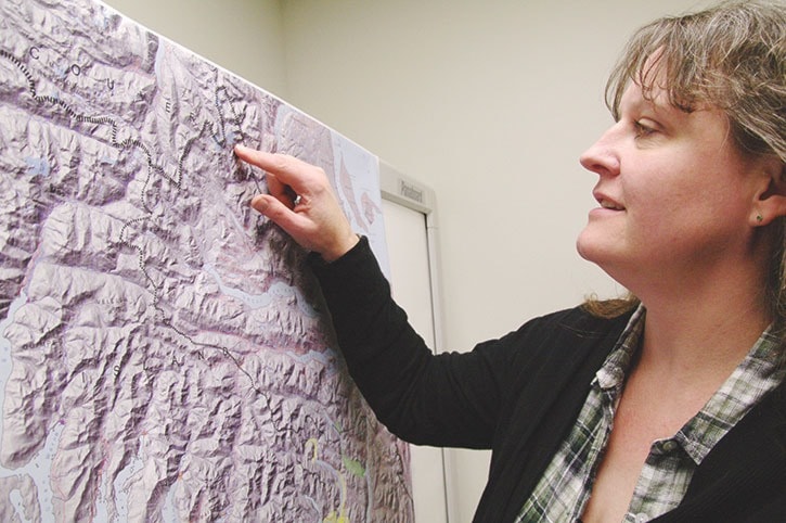
Wilson has been the mapping and computer technician for the ARCD for more than 13 years. She maps properties in the ACRD and documents topography, infrastructure and property-related information.
The mapping information is used by the public, ACRD planning department and other governmental agencies.
Mapping is an inexact science that technicians like Wilson try and make as exact as possible.
“‘A map is a reconciliation of errors.’ I heard this at a conference many years ago,” Wilson said. “You try and make everything fit together and it’s not perfect.”
A map visual represents of an area that shows various physical features, Wilson said. “But it can be anything you want it to be.”
Maps can show property lines, boundaries, sensitive habitat, as well as lakes, rivers, streams and water courses, Wilson said. “Those are all tools that our planning department uses.”
The married mother of two’s journey to working with maps is something of a road-map itself.
She didn’t know what she wanted to do after she graduated from high school in Alberta. She worked for five years before deciding to take industrial drafting at Kwantlen College in Vancouver.
Wilson then worked as a draftsman at McGill Engineering for 10 years before taking her position at the ACRD in 2000.
Mapping is a natural extension of her drafting background, she said. “A lot of it is plotting survey data, which were skills I already had.”
Most people are familiar with Google map but its high-tech appearance belies the fact that it may not be updated, Wilson said. “Our mapping serves very specific needs and has a different focus,” she explained.
 With the click of a mouse Wilson calls up a map using the program AutoCAD on one of her two computer screens. Choosing a random property, Wilson can see the area, land distribution, roll number and other information.
Wilson can make maps for display purposes or for Official Community Plan zoning, as well as for other purposes, she said.
To make a map Wilson first gets data, usually from a survey plan. Some of the data can be as old as from 1910 but it’s still legal, she said.
There are some things that people don’t realize when they are looking at a map. There are usually small margins of error and that the more accurate the map, the more it costs to make.
Mapping conventions have also changed with computer mapping versus hand drawn maps.
Fonts used in mapping now have displaced drawing lines of various thickness, each with its own meaning. Font sizes used to denote things like population density and water stream data, but that’s fading, Wilson said.
“Digital mapping hasn’t adhered to those conventions as much. It’s a free-for-all in some regards.”
One piece of technology that Wilson uses is a Trimble, or mapping GPS. The unit fits in a backpack with an antenna jutting out of it, and also uses a hand-held computer.
The antenna receives satellite signals that tell it “I am here” and triangulates it. Once the signal is confirmed to be received, a line or position is then plotted.
Wilson recently used a Trimble to locate underground infrastructure when playground equipment was installed at a Sproat Lake park.
As well, she used it in 2011 to locate water meter boxes and document where various infrastructure was, she said.
Map facts:
- PORT ALBERNI’S archives house many old maps of the region — including some dating back to 1910 and earlier - which are still used for reference.
- STEEL PINS placed in the ground by surveyors are the final legal determiner of property lines.
reporter@albernivalleynews.com
Twitter.com/AlberniNews