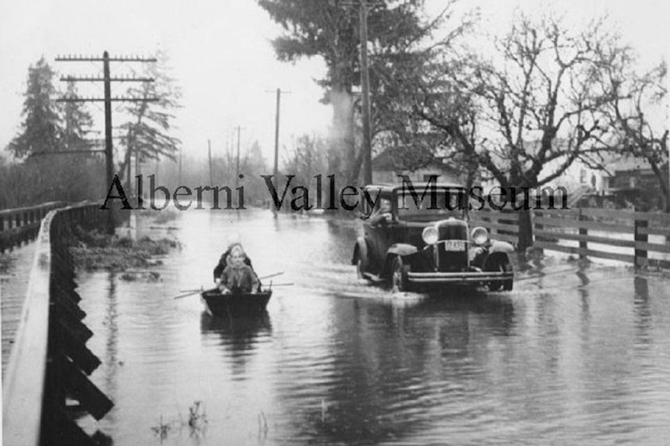
River Road in Port Alberni sits in a floodplain. This photo from 1938 depicts two youth rowing a small boat along the road, after the rain-swollen Somass River overflowed its banks.
A car driving by in the road shows how deep the water is; a raised wooden walkway can be seen to one side of the photo.
Flooding continues to be a problem along the Somass River, particularly since 2016.
The Alberni-Clayoquot Regional District released a flood plan for the Somass River watershed in mid-March 2020.
The plan was developed over the past two years through field surveys, flood level monitoring and hydraulic modelling; it provides a complete picture of the watershed above and below the existing waterline.
Increased rain and flood events are expected in the coming years. The team that developed the plan also examined what 2o0-year flood levels would look like, ACRD planner Mike Irg noted. An open house took place at the Tseshaht Administration Building in March—in a community that has been severely affected by Somass River flooding over the past four years.
This historic photo is part of a collection of 24,000 in the Alberni Valley Museum’s online digital platform. See more at https://portalberni.pastperfectonline.com/.