Warmer weather is set to arrive in southern British Columbia by Christmas Eve but forecasters warn it’s going to get messy.
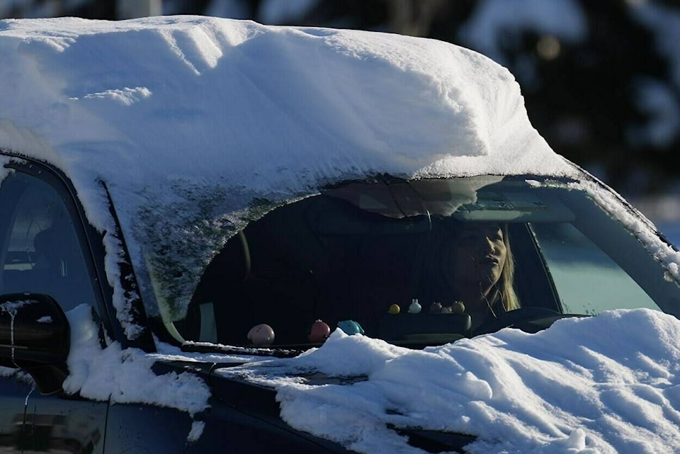
Most of the province is under an extreme cold warning or winter storm watch as bitterly cold temperatures and dangerous wind chill values of -40 C hit some regions.
Environment Canada is warning heavy snow, ice pellets and freezing rain is expected in Metro Vancouver, Vancouver Island and the Fraser Valley from now through Christmas Eve on Saturday followed by heavy rain as temperatures spike upwards.
Environment Canada meteorologist Trevor Smith predicts “a clash of the titans” between an Arctic air mass that has been keeping things cold and Pacific air that is on its way.
“It’s basically that transition from the Arctic air to the Pacific Air, this battle, that’s going to kind of produce all this nasty weather,” he said Thursday.
“And eventually the Pacific Air will win out by later on Saturday for the most part, so we’ll be all-in to rain. But it’s that intervening period tonight and Friday where we’re going to see all these different precipitation types.”
Snowfall of as much as 25 centimetres is expected in parts of the Lower Mainland through Friday night and strong easterly winds could result in near-zero visibility in some parts.
The transition from snow to rain could have a significant impact on road and sidewalk conditions, while ice buildup could lead to tree branches breaking, Environment Canada says.
Temperatures that dipped to -12 C in Vancouver on Wednesday are expected to hit 8 C by Saturday and 10 C by Monday, leading to the risk of localized flooding due to a combination of meltwater and snow-blocked drains.
Smith said the river forecast centre is not concerned about major floods from rivers because the snowpack is deep enough in the mountain that it can absorb the rain that’s coming on Saturday.
RELATED: B.C. warns against travel as south coast preps for onslaught of snow, freezing rain